
Source: Bureau of Meteorology
Issued at 11:03 am CST on Tuesday 24 September 2024
Flood Watch Number: 5
FURTHER RIVER AND CREEK LEVEL RISES AND LOCALISED FLOODING
POSSIBLE ACROSS THE FLOOD WATCH AREA
A trough moving east across the south of the NT is causing
showers, thunderstorms and areas of rain over the western half of
the NT that will extend across much of the NT by Wednesday. The
rain, showers and storms will clear from the south during
Thursday.
Catchments in the Flood Watch area are generally dry. However,
soil moisture in parts of the west of the NT has increased
following rainfall in recent days.
Moderate to heavy falls are possible in the Flood Watch area for
the remainder of Tuesday and during Wednesday. Widespread rainfall
totals of 20-50 mm are forecast, with isolated totals in excess of
80 mm possible.
Further stream level rises, localised flooding, and overland
inundation are possible in parts of the Flood Watch area which may
affect road access. Some communities may become isolated.
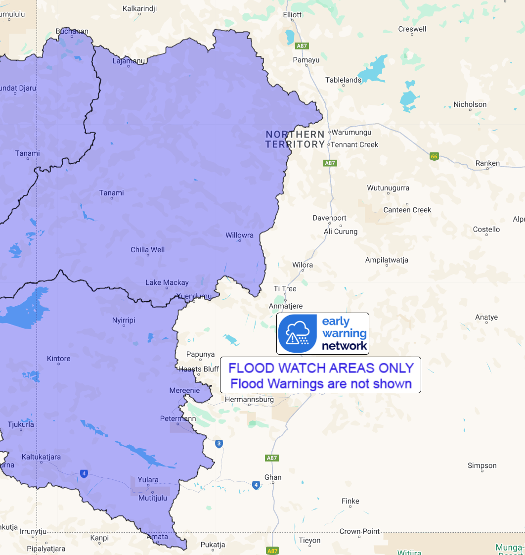
Catchments likely to be impacted include:
Tanami Desert
Western Desert
Sturt Creek District
See www.bom.gov.au/australia/warnings to view all of the Bureau's
current warning products.
More information on the Flood Watch Service and maps of Flood
Watch areas are available at
www.bom.gov.au/water/floods/floodWarningServices.shtml .
Flood Safety Advice:
The Northern Territory Emergency Service advises that people
should:
* Stay away from flooded drains, rivers, streams and
waterways.
* Prepare for flooding and move away while safe to do so.
* Don't drive into floodwaters.
For emergency help in floods, storms and cyclones call 132
500.
Emergency information is available at www.securent.nt.gov.au
.
The latest road conditions are available at
www.roadreport.nt.gov.au .
Rainfall and River
Conditions Map
24/Sep/2024 01:49 AM


