
Source: Bureau of Meteorology
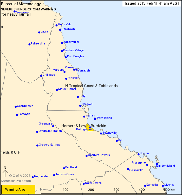
For people in parts of Herbert and Lower Burdekin Forecast
District.
Issued at 11:41 am Sunday, 15 February 2026.
Persistent showers and isolated thunderstorms are causing areas of
heavy rainfall around Rollingstone.
Weather situation: A slow-moving band of showers and thunderstorms
is situated the Herbert & Lower Burdekin coast and is causing
isolated areas of heavy rainfall. These showers and storms about
the coast are expected to ease in the early afternoon, but
additional areas of severe thunderstorms are likely to develop over
inland parts later in the day.
Severe thunderstorms are likely to produce heavy rainfall that may
lead to flash flooding in the warning area over the next several
hours. Locations which may be affected include Rollingstone.
Emergency services advise people to:
* Park your car undercover away from trees.
* Close doors and windows.
* Keep asthma medications close by. Storms and wind can trigger
asthma attacks.
* Charge mobile phones and power banks in case the power goes
out.
* Put your pets somewhere safe and make sure they can be
identified in case they get lost.
* Do not drive now unless you have to because conditions are
dangerous.
* Tell friends, family and neighbours in the area.
* Go inside a strong building now. Stay inside until the storm has
passed.
15/Feb/2026 01:47 AM

