
Source: Bureau of Meteorology
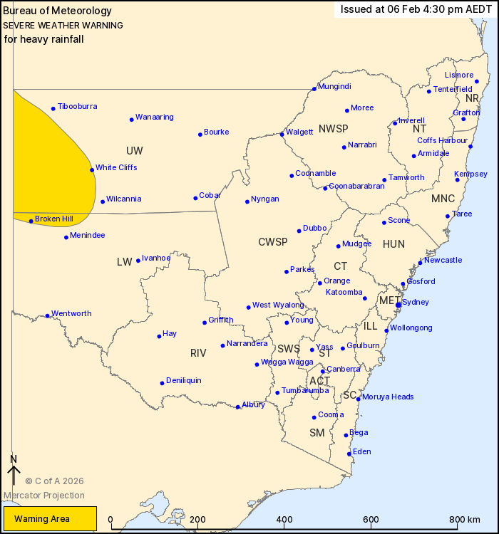
For people in parts of Lower Western and Upper Western Forecast
Districts.
Issued at 4:30 pm Friday, 6 February 2026.
Heavy rainfall is expected to develop over the Upper Western
district during the weekend.
Weather Situation: A humid tropical airmass will spread across the
central Australia, reaching northwestern parts of the state over
the weekend. The moist atmosphere coincides with a surface trough
which will result in widespread showers and isolated thunderstorms
developing over parts of the northwest.
HEAVY RAINFALL which may lead to FLASH FLOODING is forecast to
develop in parts of the Upper Western district from Saturday
morning and continue throughout the weekend. Six-hourly rainfall
totals between 20 and 50 mm are likely with localised totals up to
75 mm possible with thunderstorm activity.
Conditions may begin to ease during late Sunday or Monday.
Locations which may be affected include Broken Hill, White Cliffs,
Fowlers Gap and Milparinka.
The State Emergency Service advises that people should:
* Don't drive, ride or walk through flood water.
* Keep clear of creeks and storm drains.
* If you are trapped by flash flooding, seek refuge in the highest
available place and ring 000 if you need rescue.
For emergency help in flood and storms, ring the SES on 132
500.
Stay updated on the Hazards Near Me NSW app or the ACT ESA website
(https://esa.act.gov.au).
06/Feb/2026 05:39 AM


